How Big Data Can Help Save The Earth
How Big Data Can Help Save The Earth
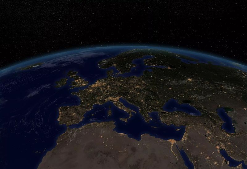
The earth is having a difficult time, for quite a while now. Deforestation is still happening at a large scale across the globe, in Brazil alone, 40,200 hectares were deforested in the past year. The great pacific garbage patch is still growing and smog in Beijing is more common than a normal bright day. This is nothing new, unfortunately, and with Trump leaving the Paris agreement, it seems that problems will remain for a bit longer. However, there is some good news. Since a few years, scientists, companies and governments are turning to Big Data to solve climate change problems or even prevent such problems from happening. It turns out that Big Data can help save the earth and if done correctly, it could lead to significant results in the coming years. Let’s have a look at some fascinating use cases of how Big Data can contribute:
Monitoring Biodiversity Across the Globe
Conservation International, a non-profit environmental organization with a mission to protect nature and its biodiversity, crunches vast amounts of data from images to monitor biodiversity around the world. At 16 important sites across the continents, they have installed over 1000 smart cameras. Thanks to the motion sensor, these cameras capture images as soon as the sensor is triggered by animals passing by. As a result, per site these cameras cover approximately 2.000 square kilometres.
In the past years, Conversation International has captured massive amounts of data, although that data had to be downloaded manually. The cameras are installed at remote locations and scientists need to download the images at location, manually and subsequently upload it to the cloud. Artificial intelligence is used to automatically determine which species have appeared in the images and the data is enriched with other information such as climate data, flora and fauna data and land use data to better understand how animal populations change over time.
Today, all that data is analysed using advanced analytics, which allows researchers to achieve results in a short time span once the data is uploaded. Together with HP engineers, they have developed the Wildlife Picture Index (WPI) Analytics System, a project dashboard and analytics tool for visualizing user-friendly, near real-time data-driven insights on the biodiversity. The WPI monitors ground-dwelling tropical medium and large mammals and birds, species that are important economically, aesthetically and ecologically.
Using Satellite Imagery to Combat Deforestation
In addition, mapping deforestation is becoming a lot easier today thanks to Big Data. Imagery analytics allows environmentalists and policymakers to monitor, almost in real-time, the status of forests around the globe with the help of satellite imagery. New tools, such as the Global Forest Watch, uses massive amounts of high-resolution NASA satellite imagery to assist conservation organizations, governments and concerned citizens in monitoring deforestation in “near-real time.”
The tool was launched in the beginning of 2014 and thanks to massive computing power of Google, already over 700.000 satellite images have been analysed. According to Rebecca Moore, Engineering Manager at Google Earth Outreach and Earth Engine, “It was a total of 20 terra-pixels of Landsat data and to do that we applied one million CPU hours on 10,000 computers in parallel”. That’s the equivalent of one normal computer making calculations for 15 years. What resulted was a high-resolution map that showed the annual change in forest cover since 2000. When combined with all kinds of other data sources, this can be used to combat deforestation.
But that’s not all. Planet Labs has developed a tiny satellite that they are currently sending into space, dozens at a time. The satellite measures only 10 by 10 by 30 centimetres but is outfitted with the latest technology. They aim to create a high-resolution image of every spot on the earth, updated daily. Once available, it will generate massive amounts of data that they will open source for others to develop applications that will improve the earth.
Monitoring and Predicting with Smart Oceans
Over 2/3 of the world consists of oceans and also these oceans can be monitored. A few years ago, IBM Canada and Ocean Networks Canada announced a three-year program to better understand British Colombia’s Oceans. Using the latest technology and sensors, they are now predicting offshore accidents, natural disasters and tsunamis and forecast the impact of these incidents. Using hundreds of cabled marine sensors, they are capable of monitoring waves, currents, water quality and vessel traffic in some of the major shipping channels.
All data collected will be used to run simulations on tsunamis and earthquakes in order to determine the impact on coastal areas. Information such as this can be very valuable to all kinds of public agencies, tourism and other industries operating in the area. The researchers will also use visual analytics and techniques like machine learning to develop, test and run systems that could monitor pollution, spill response and other important aspects of ocean management. The smart ocean has arrived.
These are just three examples of how Big Data can help save the planet. There are of course a lot more fascinating examples and here is a list of 10 of such use cases. Big Data offers great possibilities for businesses and governments around the world, but Big Data provides also a solution to protect our planet.
Image: manjik/Shutterstock

Dr Mark van Rijmenam
Dr. Mark van Rijmenam, widely known as The Digital Speaker, isn’t just a #1-ranked global futurist; he’s an Architect of Tomorrow who fuses visionary ideas with real-world ROI. As a global keynote speaker, Global Speaking Fellow, recognized Global Guru Futurist, and 5-time author, he ignites Fortune 500 leaders and governments worldwide to harness emerging tech for tangible growth.
Recognized by Salesforce as one of 16 must-know AI influencers , Dr. Mark brings a balanced, optimistic-dystopian edge to his insights—pushing boundaries without losing sight of ethical innovation. From pioneering the use of a digital twin to spearheading his next-gen media platform Futurwise, he doesn’t just talk about AI and the future—he lives it, inspiring audiences to take bold action. You can reach his digital twin via WhatsApp at: +1 (830) 463-6967.